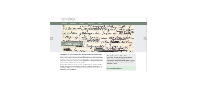
In einem langfristigen Kooperationsprojekt von Österreichischer Nationalbibliothek und Deutschem Literaturarchiv Marbach werden alle bis 1990 entstandenen 75 Notizbücher in einer
Short description of the project
The DARIAH-DE Geo-Browser enables a comparative visualization of several queries and supports the display of data and their visualization in a correlation of geographical spatial relationships at corresponding points in time and sequences. This allows researchers to analyze space-time relations of data and source collections and at the same time establish correlations between them.
Project content
The DARIAH-DE Geo-Browser is being developed based on the developments of europeana4D and GeoTemCo and is available to researchers in the humanities and cultural sciences for analyzing the space-time relations of data. The SUB Göttingen and other partner institutions of DARIAH-DE are working closely together on the development and cooperate in a working group founded in March 2013, e.g. with representatives of the MPI for the History of Science in Berlin, the Fraunhofer IAIS in Sankt Augustin and the University of Leipzig, in particular Stefan Jänicke, to coordinate and coordinate the development processes. There is close coordination and development cooperation in particular with the Atlas of Innovations of the Cluster of Excellence 264 - Topoi, whose Geo-Browser module is also publicly accessible.
The research questions that can be answered with the geo-browser are diverse. The Geo-Browser is an interdisciplinary tool or service that can analyze space-time relations from a wide range of perspectives - for example, questions about the locations of archaeological objects, the birthplaces of people or socio-economic or political events. At the same time, data sets can be correlated with each other, for example to clarify the historical question of what effects famines in 18th century Europe had on political stability and whether there is a correlation with revolutions. In addition, the geo-browser can also be used as a visualization tool, for example to display DH projects or DH degree courses and their geographical and temporal development over the last ten years.
Humanities and cultural studies researchers, journalists and the interested public can all use this open source tool to explore complex data and thus answer questions relating to both time and space.
Users can enter the data to be analyzed with the help of the Datasheet Editor developed by DARIAH, but can also refer to KML, KMZ or CSV files available on the Internet or import local files. This data is transferred to the geo-browser and displayed on a geographical map by default. In addition, historical maps can also be used, on which the political, social and economic conditions of a particular era are shown.
Website: geobrowser.de.dariah.eu/
E-Mail: info@de.dariah.eu
Add your DH research project to the project showcase by submitting a short project description via the web form. Enter project data, a brief description, a graphic or visualization as well as a detailed description of the project content with technical assignment, addressees, added value, project managers, funding information and duration.

In einem langfristigen Kooperationsprojekt von Österreichischer Nationalbibliothek und Deutschem Literaturarchiv Marbach werden alle bis 1990 entstandenen 75 Notizbücher in einer
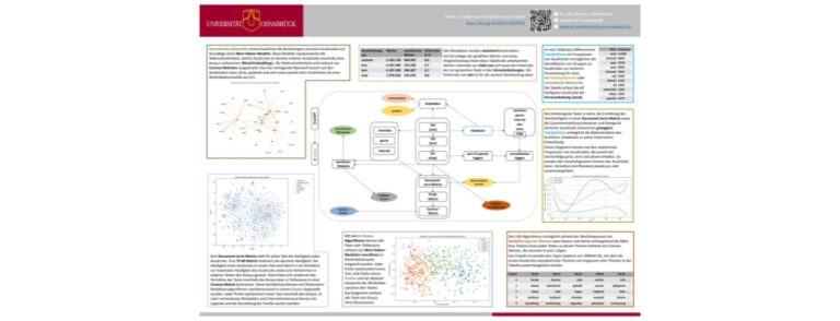
Das Projekt untersucht den öffentlich-schriftlichen Diskurs der Literaturvermittlung an höheren Schulen im 19. Jahrhundert für alle deutschen Staaten – außer
Das Institut für Dokumentologie und Editorik e.V. (IDE) ist ein internationaler Zusammenschluss von Wissenschaftlerinnen und Wissenschaftlern aus verschiedenen Disziplinen der
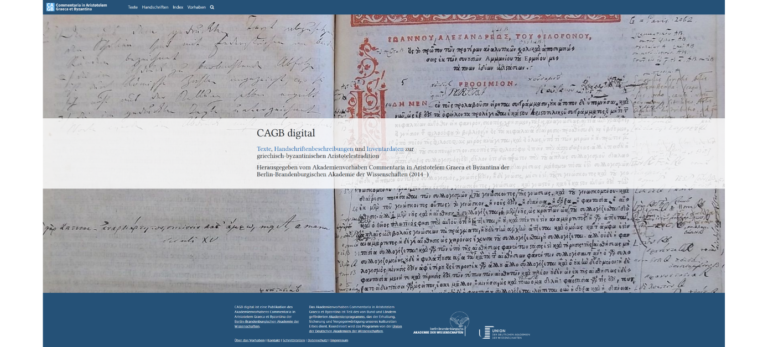
Das Akademienvorhaben hat die philologische Erschließung und kritische Edition antiker und byzantinischer Kommentare, Paraphrasen, Kompendien und Scholien zu den Schriften
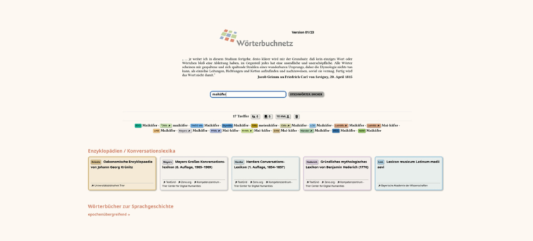
Das Trierer Wörterbuchnetz bietet Zugriff auf mehr als 40 Wörterbücher und Nachschlagewerke, die entweder einzeln aufgerufen oder mittels einer übergreifenden
Die Website „Der Holocaust in Ungarn und die Deportationen nach Norddeutschland“ präsentiert Ergebnisse aus dem transnationalen Projekt „Digitale Gedenk- und
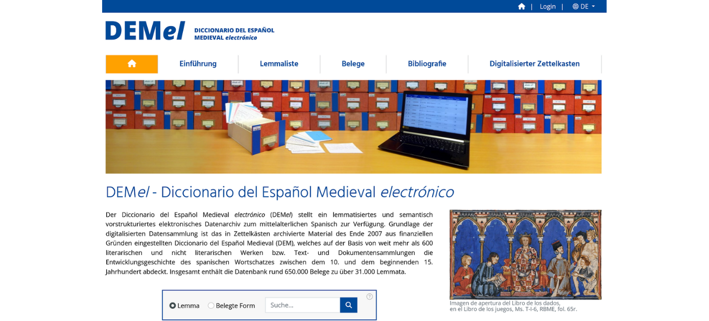
Das von der Deutschen Forschungsgemeinschaft geförderte Projekt Diccionario del Español Medieval electrónico (DEMel) hat zum Ziel, der Öffentlichkeit ein lemmatisiertes
The Bibliotheca legum aims at providing an overview of the textual production of secular law texts in the Frankish empire. Descriptions (according to TEI P5) of all manuscripts containing secular legal texts (leges) as well as other contextualising material are presented.
Wir verwenden Cookies und ähnliche Funktionen zur Verarbeitung von Daten. Die Zustimmung ist freiwillig und kann jederzeit widerrufen werden.